1 min read

How TraceAir Improves Workflows for Geotechnical Engineers and Reduces Costs for Owners

How TraceAir Improves Workflows for Geotechnical Engineers and Reduces Costs for Owners
Improve Workflows for Geotechnical Engineers & Reduces Cost for Owners
2:24

Improving Workflows for Geotechnical Engineers‍

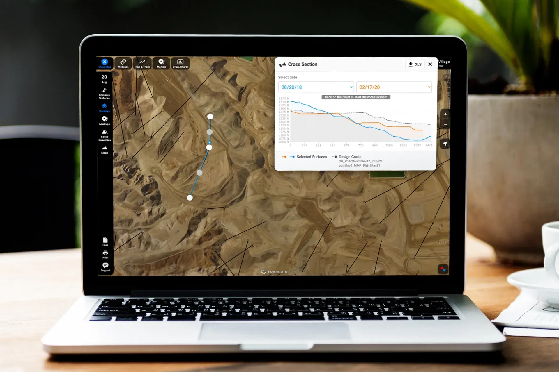
Geotechnical engineers use TraceAir to save time when designing stormwater diversion plans and other environmental tasks on site development projects. Using the cross section tool along with other comparison and measurement tools, engineers are able to look at slopes in real time with the project team and evaluate how they might impact the design of the diversion plan.

Without TraceAir, the process to develop these plans is static and not as collaborative. Engineers typically use the following process:

  • Develop multiple options in CAD
  • Discuss the options at a meeting with the owner and contractor
  • Note their feedback, then spend extra time revising plans following their meetings

Featured Tool: Cross Section

TraceAir's cross section tool allows users to review elevations along a designated path. The tool also compares cross sections of the designated path to the design grade and previous data from prior scans.

The cross section tool is used by engineers, superintendents, foremen, and land development professionals to quickly check elevations on their projects. This tool is easy to use from any mobile device and doesn't require any technical expertise of CAD software.

With TraceAir, geotechnical engineers can meet virtually with the project team and determine how to design a channel for an intermittent winter condition by screen sharing and looking at it together. Looking at TraceAir's current 3D topographical surveys and using measurement capabilities can eliminate the need to go into the field and allows teams to develop these plans virtually. This saves hours of time spent in meetings and on back and forth communication.

Using TraceAir to collaborate with project team members reduces the duration and frequency of consultant meetings by up to 50%, resulting in substantial cost savings for the project owner.

Benefits to the Owner‍

By using TraceAir to collaboratively develop solutions based on real time site conditions, accurate measurement tools, and customer feedback, our geotechnical engineer users estimate that the number of meetings and billable time to the owner is reduced by 50%. Consultants' time is a direct cost to the client, so reducing the amount of time spent in meetings and completing tasks results in an immediate savings.

Accelerate Your Workflows with New Project Management Tools

1 min read

Accelerate Your Workflows with New Project Management Tools

We are excited to introduce several new features within our Projects Portal and Dashboard that will enhance your experience, streamline your...

Read More
How It Works: Haul Roads for Automated Grading

2 min read

How It Works: Haul Roads for Automated Grading

Efficiency during the site work phase is crucial for grading contractors, especially if they’re working under a lump sum contract. If contractors...
Read More
Transforming Master-Planned Developments: How TraceAir Simplifies Project Success

3 min read

Transforming Master-Planned Developments: How TraceAir Simplifies Project Success

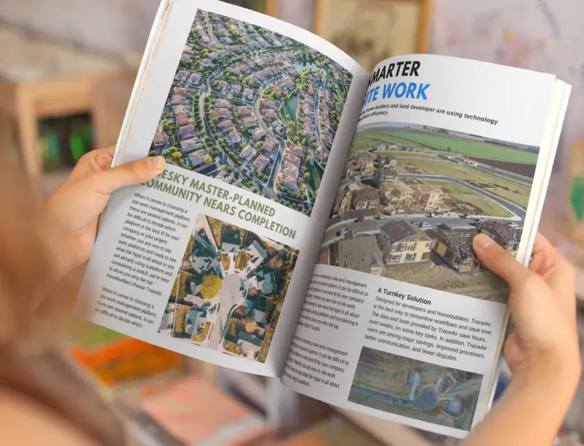
Master-planned developments involve a high level of complexity, with numerous phases, stakeholders, and timelines to manage. Keeping everything on...

Read More