


The Secret Top Developers Use for Faster, More Accurate Original Ground Topography
Accurate OG topography is essential for land development: reliable data for planning, budgeting, and risk management on even complex sites.





2 min read

Effective project organization is essential for maintaining efficiency and ensuring that every team member can quickly access the information they need. That's why we're excited to introduce a powerful new feature in TraceAir Office: Overlay Subfolders. This enhancement allows for more granular organization of project documentation, making it easier than ever to keep your projects streamlined and accessible.
The new subfolder feature extends the existing functionalities of folders, bringing them to a more detailed level within the Overlays section of TraceAir Office. Here's what you can expect:

Subfolders offer a transformative way to organize and manage your projects, bringing greater clarity and efficiency to your workflow. By categorizing and structuring your documentation more effectively, subfolders help you stay on top of even the most complex projects.
Whether it's improving collaboration, accelerating document retrieval, or maintaining better control over your projects, here are some key use-cases where subfolders make a significant difference:

This feature is now live in the TraceAir platform. Start organizing your project documentation with greater precision and efficiency today. To get started, simply log in and try it out.
If you need further assistance or have any questions, visit our Help Center or contact our Customer Success team. We're here to help you make the most of this powerful new feature!
Accurate OG topography is essential for land development: reliable data for planning, budgeting, and risk management on even complex sites.
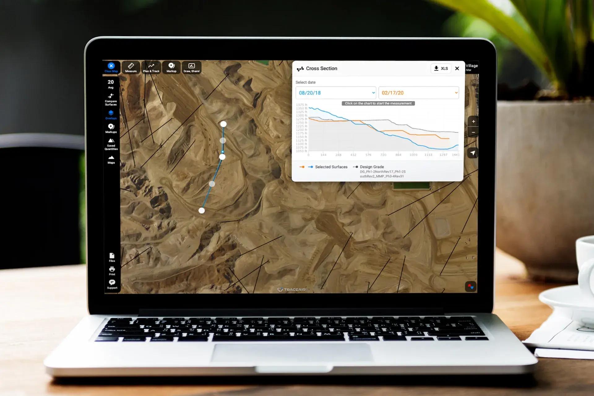
TraceAir's web-based platform reduces costs for the owner, saves time, and allows project teams to collaborate easily to solve challenges.

Learn how land acquisition leaders can use TraceAir to spot grade issues early, speed lot evaluation, and cut survey delays to keep projects on track.